B.C. could become first Canadian province to give key data to mapping service
Marke Andrews
Sun
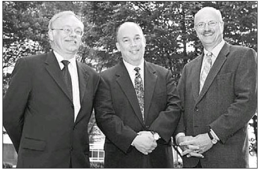
Google Earth’s chief technical officer, Michael Jones (centre), poses with B.C. Agriculture and Lands minister Pat Bell (right) and Ron Lake (left), organizer of GeoWeb conference in Vancouver. Jones told the conference about a B.C. government initiative to supply information to Google’s mapping service.
The British Columbia government has been meeting with representatives from Google Earth on an initiative whereby the government will supply updated information about the province for Google Earth and Google Maps, the online 3D-mapping system used by 250 million people worldwide.
In a Friday address at GeoWeb 2007 and later in an interview, Google Earth chief technology officer Michael Jones said Google Earth has been in talks with the provincial government, and if the initiative goes ahead B.C. would be the first Canadian province to supply information on such things as traffic and mineral resources to the mapping service.
“The provincial government has been talking with us about providing data so that all citizens in the province who use our service will have the best possible data,” said Jones.
Jones met Thursday with Agriculture and Lands Minister Pat Bell to discuss the initiative.
Google Earth relies on Web users and organizations to supply information about specific areas of their maps. This includes transit information — a hit on a button for the Google map of Seattle will show you which buses run on which streets, where they go, and when they reach specific bus stops.
Government input could include information on highway construction projects, so local residents and visitors to the area would know where they might encounter a delay. In the case of B.C., Google could also have access to the data and images banked in the Integrated Land and Resource Registry, which gives detailed information about all areas of the province.
“We’ve been working very closely with Google and Google Earth in establishing a link into our database system, which will provide much higher-quality video images,” said Bell in a telephone interview. “Our database is far more current and of higher quality than the existing database that Google Earth uses.
“We are very close to concluding a deal with Google Earth.”
Bell said such a link could create opportunities for the tourism industry, and provide visitors and locals alike with detailed information about areas of the province.
Some municipalities are already doing this. Jones said Nanaimo is the most active city in the world when it comes to supplying geographic data to Google Earth. He predicted there will be a time when municipal, provincial and federal geographic information will be shared universally.
“With Nanaimo, they have mapped nearly every conceivable thing using Google Earth and Google Maps,” said Jones. “Their citizens have more information about their city than the people of San Francisco.”
Jones has been a pioneer with Web cartography. He was one of the founders of Keyhole, a mapping service that made its name during the Gulf War, when CNN used its maps to show where the action was. Google Earth bought Keyhole in 2004, and Jones became the CTO of Google Earth, using information in Google Earth maps so that Web users can zoom in on specific areas.
The service, which is free to basic users (more sophisticated versions, Google Earth Plus and Google Earth Pro, are available for an annual fee), is used for many mundane tasks (zooming in to find one’s home on a city street), but can also be used for such things as planning vacations, or studying an area with the idea of starting a business there.
Jones recalls a trip to Dubai in the United Arab Emirates, where a man told him how his 13-year-old daughter had used Google Earth to map out the family’s vacation to Indonesia — all this done before Google Earth information was available in the girl’s native language.
“That notion is exactly why we started the company,” said Jones. “It means that regular people’s lives are improved.”
Google relies on users to add information to their maps. Hours after the oil pipeline rupture Tuesday in Burnaby, for instance, a web user supplied information on what streets were affected by the oil spill.
Google Earth and Google Maps are free to Web browsers. People can pay $20 US a year for the more sophisticated Google Earth Plus, or $400 US a year for Google Earth Pro, whose users include realtors, architects, surveyors and search-and-rescue organizations. The rest of Google income comes from ads on the map page, ads that do not intrude into the maps.
Jones resists the ideas of advertisers buying billboards on the maps themselves.
“That’s the first thing venture capitalists suggested to us,” said Jones. “It would be like the movie Blade Runner where signs were floating by with ads on them. To me, that’s just no good.”
Jones said a better system would be to have maps provide links to commercial outlets. If, for example, a tourist in Vancouver needed new sandals, he could hit a button that would list all the shoe stores near his hotel. National Geographic Magazine has flags all over Google Earth maps that, with a click of the button, lead browsers to an article about that particular area of the world. National Geographic does not pay anything for this.
“We’re happy to help people in the world read their stories,” says Jones. “People don’t pay Google to be found in the web search. You just exist and we find you.”
Bell said he hopes working with Google will lead to a stronger B.C. presence by the Web company.
“There’s nothing I’d like better than to attract Google to a major office in British Columbia,” said Bell.
© The Vancouver Sun 2007
