Darrell Bellaart
Province
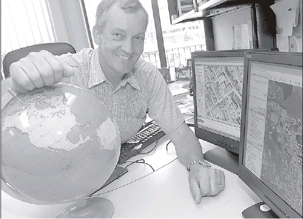
Per Kristensen, the City of Nanaimo’s chief of technology, is pleased that Google Earth is promoting Nanaimo on its website.
NANAIMO — The city of Nanaimo is consolidating its title as capital of Google Earth.
The application that people use to view any portion of the globe photographed from space is using the city in promotional material to let the world know about the new, three-dimensional version of its software.
Version 4.3 allows the user to navigate through accelerated three-dimensional images of real cities. That depends, of course, on Google Earth having the data available. Nanaimo was the first city to upload literally all of its electronic mapping data to Google, ranging from locations of sewer and water lines, aerial building photos and even 3-D imagery of all its commercial buildings. It even includes real-time locations of its fire trucks.
Nanaimo is so accessible online that Time magazine recently proclaimed the city capital of Google Earth. And now Google is perpetuating the city’s claim to fame by using Nanaimo to promote Google Earth 4.3.
“Google actually approached us saying we’re putting this feature on our website and we want to promote Nanaimo because of the work we’ve done,” said Per Kristensen, Nanaimo chief of technology. “They said we want to make Nanaimo part of the marketing of this in future.”
Despite Nanaimo‘s data rapidly becoming outdated as the downtown skyline changes, Google Earth specifically identifies Nanaimo on the web as a city that can be viewed in 3-D. For Kristensen, it’s another affirmation of his IT department’s contribution at city hall. “Google. . . is pleased with the work we’re doing,” he said.
To experience Nanaimo in 3-D, users must have the latest version of Google Earth, not to be confused with Google Maps. But they’ll notice the newest highrises and the Vancouver Island Conference Centre are missing from the downtown streetscape. That information was unavailable the last time Nanaimo was aerially mapped in 2006. It’s expected to be updated in the spring of 2009.
© The Vancouver Province 2008
